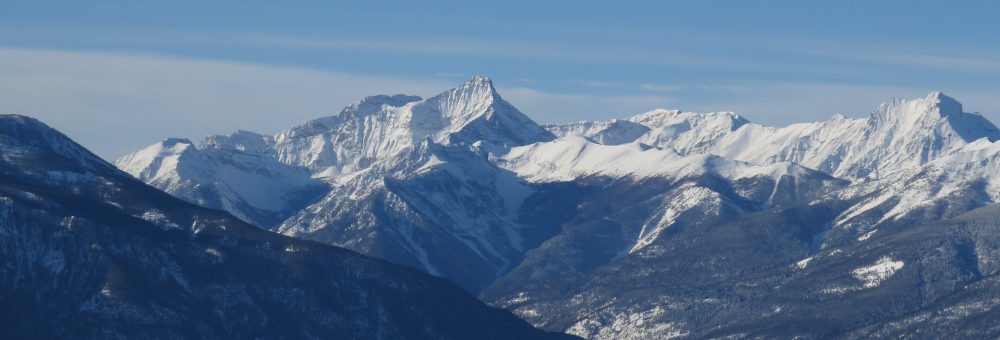
Jumbo Pass, Jumbo Creek (qatmuk nik’amak?is), Jumbo Glacier, Jumbo Mountain
The original Jumbo claim never came to much, although those interested in the claim were definitely onto something. The claim is located just to the north of the Crown Granted claims for the Mineral King Mine, which became a large scale operation in the 1950s.
The Jumbo area, known by the Ktunaxa as “qatmuk nik’amak?is”, is part of the spiritual home to Qat’muk, the grizzly bear spirit.
The European name for the Jumbo area originates with a mine. Reference is first made to the “Jumbo” mine in 1888, located about twenty miles from the mouth of Toby creek. The claim is described as being about one hundred feet (thirty metres) above the creek bed in the middle of a thickly wooded country, with a mineral vein running in a NW by SE direction. The creek bed below was “nearly as level as a road bed, with the valley bottom opening up into a small valley a short distance above the claim.”1 The mine was staked by McKinnon, Rosamond and Kirkpatrick, as well as possibly George Starke.2
By 1890, the Jumbo claim had been worked for about a year by Charles Law, who ran a prospecting tunnel on the claim.3 A couple of years later, in 1892, William Rosamund obtained a Crown Grant on the Jumbo claim, consisting of 20.66 acres of Lot 293.4 A Crown Grant was issued when a mineral claim was located and surveyed to grant lode mineral rights to the owner. The grant required the payment of an annual tax: if those payments lapsed the rights reverted to the Crown and could be re-issued as a new Crown Grant. The claim on the Jumbo must have lapsed, as it was re-issued in 1918.5

The original Crown Granted Jumbo Claim: the rectangular section in the middle of a bunch of regular squares. Figure 1: Mineral King Mine Property Claim Map. IN George R Dix, Geological Report of the Toby and Jumbo Grids, 21 August 1991.
In 1897 the creek that the Jumbo claim was on was being referred to as “the Jumbo fork of Toby Creek,”6 and other mining claims in the area were described in reference to the “old Jumbo claim.”7 Over time, even as the Jumbo mine faded into obscurity, the Jumbo name continued to spread, first to Jumbo basin and later to Jumbo Pass and Jumbo Glacier.8
The original Jumbo claim never came to much, although those interested in the claim were definitely onto something. The Crown Granted Jumbo claim is located right in the middle of the Crown Granted claims for Mineral King 5, 7, 8, and 16, and northwest of the other Mineral King grants (1 through 4). The Mineral King Mine became a large scale operation in the 1950s, essentially hollowing out the mountain on which it (and the old Jumbo claim) were located, although operations focused more on the opposite side of the mountain from the Jumbo claim.9
What Were People Even Doing There?
The Jumbo mining claim was staked comparatively early in the history of the area, which is somewhat surprising as it is located some distance away from the major travel artery of the Columbia River. Early prospectors tended to concentrate in areas that were relatively easy to access, and a location in the middle of the Purcell Mountain Range does not immediately seem to fit that trend.
The out-of-the-way location makes more sense, however, given that in the 1880s Jumbo Creek was in close proximity to a known travel route. There are records of the area being used by the Shuswap people to travel over the Purcell Mountains between Toby Creek and Kootenay Lake, traversing up and over the treeless ridge between Hamill and Glacier Creeks. Europeans surveying the area in 1865 from the Kootenay Lake side were disappointed to find that this established route went up and over the ridge rather than down over one of the low passes (Jumbo or Earl Grey), but they appreciated and recorded the information that the Toby Creek valley on the other side might make for easy travel: it was, “a very large, long, and low valley.”10 In that same survey report from 1865, the Glacier Creek Valley was recommended for further exploration as a possible route for a future road or railway.

Jumbo Pass Area: The Shuswap trail went over the ridge between Glacier and Hamill Creeks.
R.C. Harris, “Old Routes and Trails,” BC Historical News (Spring 1980), p 20.
That road or railway never occurred, however the route remained promising and was known to settlers on both sides of the mountains as a low lying, relatively easy way to pass through the mountains. It is likely knowledge of the route that brought prospectors to the Jumbo claim site.
Routes Over Jumbo Pass
By 1889 the Shuswap trail had fallen into disrepair, and the owners of the Jumbo claim cut a rough trail up Toby Creek (at a cost of $500).11 Explorations to expand on that miner’s trail to continue over Jumbo Pass and connect to Kootenay Lake were done in 1893, with work beginning in 1894, much to the appreciation of residents in the East and West Kootenays.12 The trail was completed in 1895, and was expanded to become a cattle route in 1896.13 That cattle route was the most developed trail to be built over Jumbo Pass itself, and even that again fell into disrepair.
As of 1980, a couple good sections of this 1890s trail remained, including a stretch on the West Kootenay side about halfway up to Jumbo Pass from the Glacier Creek road, as well as several sections on the Jumbo Creek side, particularly over the talus slopes below the cliffs on the north face of Bastille Mountain.14 Although I’ve been up Jumbo Pass from the East Kootenay side, I’ll admit I wasn’t paying enough attention to pick out the remnants of the old trail: that 1890s trail has generally slipped away, and I’m not sure how much is left today.

Detail of Jumbo Pass, showing sections of the 1890s trail remaining in 1980.
R.C. Harris, “Old Routes and Trails,” BC Historical News (Spring 1980), p 20.
By 1915, the trail up Toby Creek and a few miles up Jumbo Creek had been expanded yet again into a wagon road, useful to both miners and to logging companies.15 The earliest records I found of logging in the Jumbo area were in 1904: the wagon road was not yet constructed, and logs were taken out by floating them down Toby Creek.16
When the Trans Canada Highway route was being debated in the 1950s, the Jumbo Pass route was promoted by the East and West Kootenays. The proposal included a four kilometre tunnel under the pass itself, and would have provided a relatively low grade route. That route was abandoned in preference for the Rogers Pass: it was estimated to be the cheaper to build with lower long-term maintenance costs.17 Jumbo Pass was also considered in 1974 as a possible highway route by the Environment and Land Use Committee. Nothing came of that proposal either.18
Today, the Jumbo area is more widely known as the location for the failed attempt by Glacier Resorts Ltd to establish a ski resort on and below the Jumbo Glacier. The proposal was initiated in 1991, and was strongly opposed for thirty years by much of the local community including the Ktunaxa First Nation. It was finally dropped earlier this year (2020). I’ve had the history of the Jumbo resort proposal in the back of my mind for awhile as a potential project, but haven’t been in a place where I can really work on it.
Some Editorializing
The Jumbo name is, in my opinion, an interesting case study as to the way in which geographic names become attached to a place. What began as a prospector’s hope that the mineral claim would become a large one (this was not the only Jumbo claim staked in B.C.) spread from that small, briefly worked mineral prospect to the creek nearby, which in turn spread to the creek basin, then the pass, the glacier, and a mountain.
Such spread is common in the way that features are named, but this one strikes me as interesting because the original name was significant only in that it was the first settler-named feature in the area. There was an established cultural significance to the place among the Shuswap First Nation as a travel route, and indeed the mineral claim itself would likely not exist without the tradition and knowledge of that route. Still, it is that first settler name that spread, and the impact of the “Jumbo” name seems strangely out of proportion to the success or significance of the original mining claim, especially as there was likely an alternative name available more reflective of its cultural significance. As I said: an interesting case study.
See Also
Footnotes
Crown Grants in British Columbia can be found online. Unfortunately this website isn’t very searchable, but if you know approximately where you’re looking it’s quite useful. https://www.arcgis.com/home/item.html?id=c915b78dd2604cab9c085a2bbd05a45d
https://dx.doi.org/10.14288/1.0227197
https://dx.doi.org/10.14288/1.0227004
https://dx.doi.org/10.14288/1.0063498
https://dx.doi.org/10.14288/1.0063740
https://dx.doi.org/10.14288/1.0063737
https://dx.doi.org/10.14288/1.0190738
https://dx.doi.org/10.14288/1.0190738
Other References
http://apps.gov.bc.ca/pub/bcgnws/names/12098.html
http://apps.gov.bc.ca/pub/bcgnws/names/12103.html
http://apps.gov.bc.ca/pub/bcgnws/names/12101.html
